Poudre River Trail Repairs
The Poudre River has experienced several floods in recent years. As a result, the riverbank along the Poudre River is eroding in several sections. This erosion has or will affect the Poudre River Trail. A study of the trail corridor, completed in 2019, considered options for repairing, replacing, or re-routing the trail. Several priority projects were identified and will be undertaken as funding is available.
Duran Section of the Poudre River Trail
One such priority project is the Duran Section of the Poudre River Trail. East of the 71st Ave. bridge, the riverbank has eroded along the trail and the area is prone to flooding. Design and permitting for this section have wrapped up. Planned work includes re-routing a trail section to move it further from the riverbank. Bank stabilization and restoration will make the river more resilient during future floods. Construction work is taking place October 2024 - January 2025.
Poudre Ponds Section of the Poudre River Trail
Riverbank erosion near Poudre Ponds is being addressed by another repair project. Construction work is scheduled for January 6 - March 31, 2025. The trail will be closed between 25th Ave and 35th Ave while work takes place.
Restoration Work - Campo Esperanza
See below for Spanish. Ver abajo en español.
Many folks want to know when the site will “look better.” One of the difficult parts of ecosystem restoration work is the establishment period after a natural area is seeded before the plants are established. This process moves at nature’s pace. So, it takes several years for the newly seeded areas to mature. In the meantime, annual weedy species will persist in the first few years.

These photos are from another restoration project along the Platte River in Nebraska. The first photo (left) in 2012 shows a predominance of horseweed, an annual weedy species. The photo below shows the site three years later. Over 30 different species of native plants were present, with almost no horseweed.

Native plants have deeper root systems and focus energy in their first few years on growing down, establishing those roots. Then they grow upwards and outcompete the other plants. The reward is a healthy, diverse habitat with native plants that provide food, shelter, and more for native birds, butterflies, and other species.
Initial seeding and planting took place in 2021, with follow-up seeding and planting in 2023. The City of Greeley Natural Areas & Trails Division will continue restoration work in this natural area. This work may entail targeted mowing, spraying, and additional seeding and planting.
The good news—once established, native plants do not need pesticides, fertilizers, watering, or mowing. In turn, it helps protect air and water quality. We hope you will spend some time on the nature trail watching this process unfold over the next few years. Project updates will be posted here. Questions about this project may be directed to 970-350-9205.
Tareas de restauración – Campo Esperanza
Muchas personas se preguntan cuándo se verá mejor. Una de las partes complicadas del trabajo de restauración del ecosistema es el período de establecimiento después de sembrar en un área natural, antes de que se establezcan las plantas. Este proceso de desarrolla al ritmo de la naturaleza. Es decir, las zonas recién sembradas tardan varios años en madurar. En el interín, persistirán las especies de malezas anuales durante los primeros años.
 Estas fotografías corresponden a otro proyecto de restauración a lo largo del río Platte en Nebraska. La primera fotografía (izquierda) de 2012 muestra predominancia de hierba carnicera, una especie de maleza anual. La fotografía siguiente muestra el lugar tres años después. Se observan más de 30 especies diferentes de plantas nativas, casi sin presencia de hierba carnicera.

Las plantas nativas tienen sistemas de raíces más profundas y durante sus primeros años de vida concentran la energía en crecer hacia abajo, para establecer estas raíces. Luego crecen hacia arriba y se imponen sobre las demás plantas. La recompensa es un hábitat sano y diverso con plantas nativas que proporcionan alimento, refugio y mucho más a las mariposas, las aves autóctonas y a otras especies.
La siembra y la plantación iniciales se realizaron en 2021, con siembra y plantación complementarias en 2023. La División de Áreas Naturales y Senderos de la ciudad de Greeley continuará las tareas de restauración en esta zona natural. Estas tareas pueden incluir siega selectiva, pulverización y siembra y plantación adicionales.
La buena noticia es que, una vez establecidas, las plantas nativas no necesitan pesticidas, fertilizantes, riego ni siega. A su vez, ayudan a proteger la calidad del aire y el agua. Esperamos que disfrute de pasar tiempo en el sendero natural observando cómo se desarrolla este proceso durante los próximos años. Las novedades del proyecto se publicarán aquí. Si tiene alguna pregunta, puede comunicarse al 970-350-9205.
Newest Natural Area
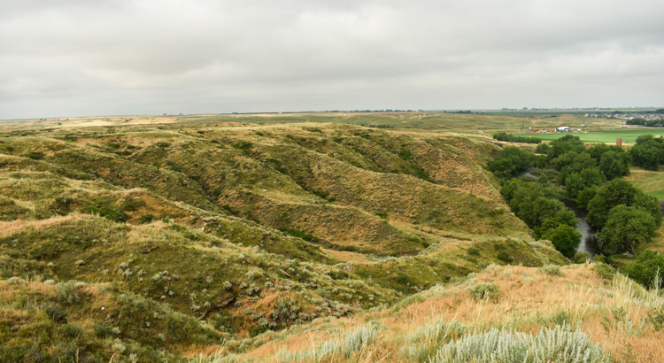
Greeley’s Newest Natural Area is a 978-acre expanse of prairies, bluffs, and arroyos located between Greeley and Windsor, near Missile Site Park. Visitors experience magnificent plateaus and stunning mountain and valley views. Together, the City of Greeley, Mundus Bishop, and Trust for Public Land are putting the community's voice first in this project. Register for this project on Speak Up Greeley to share your dreams for the new natural area, suggest a name for the property and stay informed. It will take many years before the community's vision for this natural area is achieved. We need your help to make this community vision a reality. Read more about this long-range project.
Greeley #3 Canal Trail
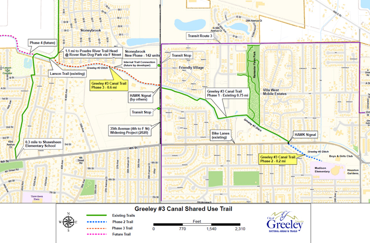
This trail will connect northern Greeley neighborhoods to local parks, schools and more. Construction of Phases 2 and 3 of the Greeley #3 Canal Trail are underway.
Phase 2 will connect the southeast end of the trail across 4th St. to Madison Elementary School. A crossing signal across 4th St. will improve safety for children traveling to/from the school or the Boys and Girls Club. Phase 3 will add 0.6 mile of paved trail westward across 35th Ave. to connect to the Larson Trail. This section will offer access to Shawsheen Elementary School via the Larson Trail. Existing trails will remain open during construction. For safety, please avoid construction areas.
Combined length of the two new sections is 0.86 mile. Total length of the trail including the existing part will be 1.6 miles. Construction starts in late 2022 with completion by spring 2023.
Funding comes from a Multi-Modal Options grant from the North Front Range Metropolitan Planning Organization, and matching funds from City of Greeley, School District 6 and Poudre River Trail Corridor, Inc. Total project cost will be around $800,000.
Island Grove Trailhead
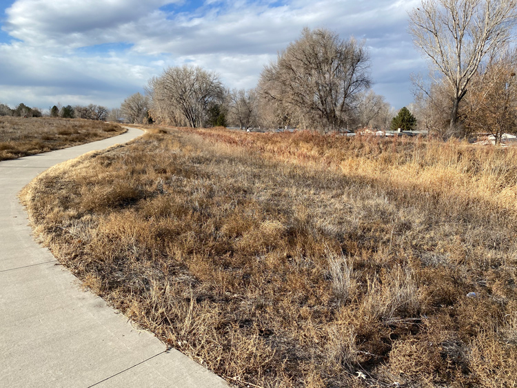
The Island Grove trailhead provides access to the eastern end of the Poudre River Trail. The new trailhead features a 30-car parking lot, ADA parking, restroom facilities, bike repair station, and public art. An informational sign will be installed at the new kiosk in 2023. This project was funded by Quality of Life tax funds.
McCloskey Natural Area Trailhead
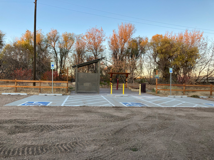
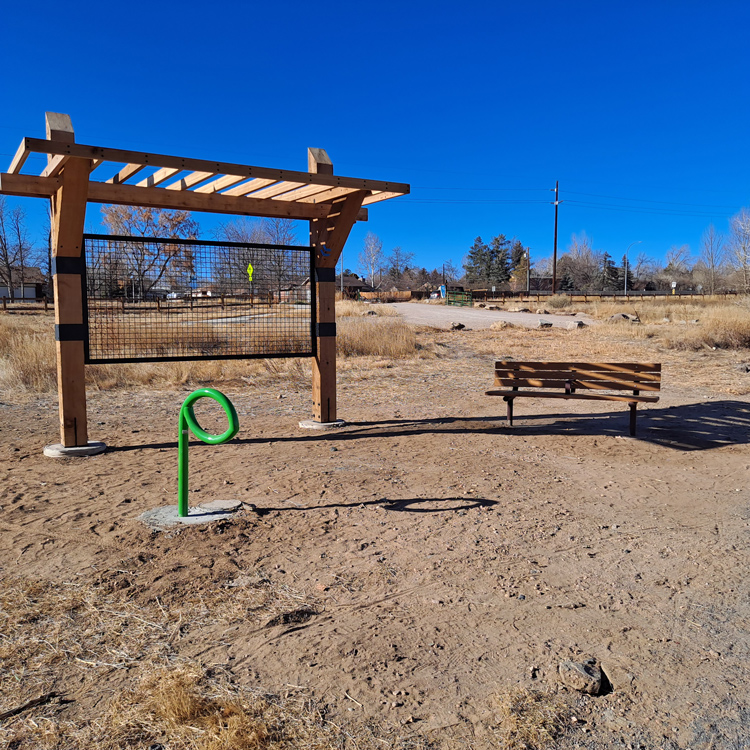
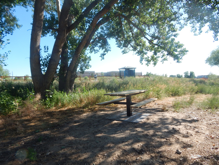
Improvements to the McCloskey Natural Area trailhead include a new 25-car parking lot, port-a-let structure, seating and tables. An informational kiosk will be installed in 2023. This project was funded by a State Trails grant from Colorado Parks and Wildlife.
Poudre Ponds Recreational Fishery
Through this construction project, City of Greeley’s Water and Sewer Department:
- provided flood protection to the ponds;
- added more non-potable water storage capacity;
- provided the ability to move water between the ponds.
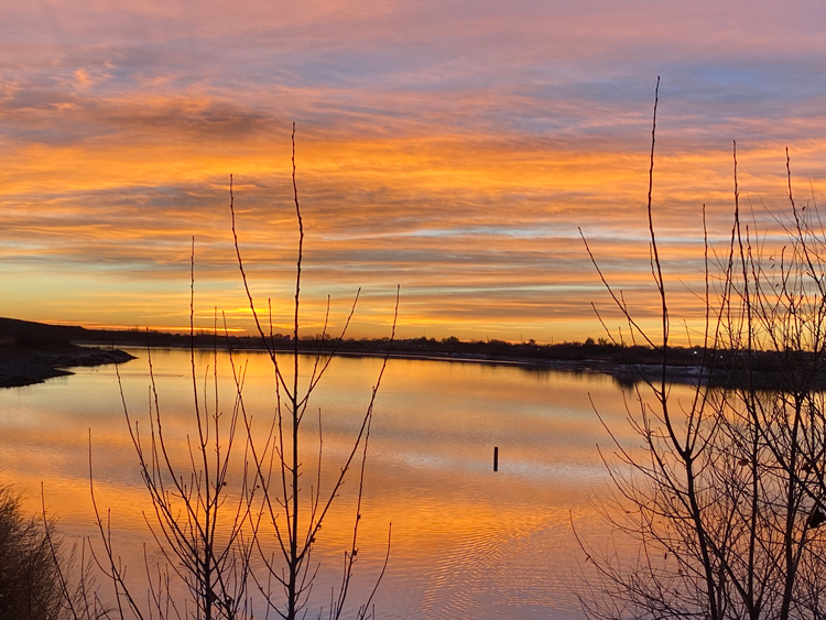
Natural Areas & Trails partnered with Colorado Parks & Wildlife to improve fish habitat in the pond. Adding concrete and woody debris to the pond gives fish places to shelter and grow. NAT staff also made improvements to the parking areas and trail sections. The property is now open and people are welcome to fish and boat on the pond (non-motorized use only). A few finishing touches will be added to the site in 2023.
Read more about this project, including stocking schedule and which fish species live in the pond.
Pumpkin Ridge Natural Area Bridge
In late 2020, the Public Works Department started a project to provide a neighborhood connection to Sheep Draw Trail. The trail spur from 63rd Ave. was constructed at that time. The City is in process of obtaining a floodplain permit from FEMA. This permit is required to install the bridge across the creek to connect this spur to Sheep Draw Trail north of 10th St. A construction date has not been determined.
Hazelton Park – Sheep Draw Trail Bridge
A new bridge across Sheep Creek along with a soft path will connect Hazelton Park and the neighborhood to Sheep Draw Trail on the south side of the creek. The bridge is in the design and fabrication phase with installation anticipated in mid-2023.